My next two days of two miles each take me at last to the first big town since leaving Boston: Worcester, Massachusetts. Below is a little bit of information about the city, taken from the
Wikipedia article.
Named after Worcester, England, as of the 2010 Census the city's population was 181,045,[4] making it the second most populous cityin New England after Boston.[5] Worcester is located approximately 40 miles (64 km) west of Boston, 50 miles (80 km) east of Springfield and 40 miles (64 km) north of Providence. Due to its location in Central Massachusetts, Worcester is known as the "Heart of the Commonwealth", thus, a heart is the official symbol of the city. However, the heart symbol may also have its provenance in lore that the Valentine's Day card, although not invented in the city, was mass-produced and popularized by Esther Howland who resided in Worcester.[6]
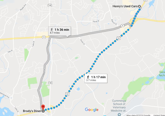
I start my journey at Brody's diner, continuing along US-20 slightly more than four miles (to make up for the slightly
less-than-four-mile journey of the day before) to a little house along US-20, 505 Southwest Cutoff. (Note: In the below map, I had to tell Google my trek was by auto because it wouldn't let me go directly there by US-20, for some unknown reason.)
 |
| Brody's Diner, Shrewsbury to 505 Southwest Cutoff, Worcester |
Worcester has a lot of history to explore, and you can read about that in many places on the internet, including
Wikipedia. But since I'm traveling around the city, I'm going to talk more about what I see along US-20.
One of the first features I pass is the rather long, thin lake called Quinsigamond by the Nipmuc people who inhabited the Worcester area prior to the arrival of English people. The below map of the lake was drawn in 1898.
The word in Algonquian means "pickerel (or long nose) fishing place." When the English settlers first arrived in the area, they got along with the Nipmuc--for a while, at least, even establishing a "praying town" in the Worcester area. Eventually, it became clear that the English were going to take all their land for little or no compensation, so they joined King Philip's War and ultimately lost most of their people and had to live on reservations in Worcester county. You can read about their fate in
Wikipedia:
Qunsigamond.
Once past the lake area, I leave Shrewsbury and enter Worcester, though it's the southern edge of the city. I'm walking through a mostly industrial area here, passing by small businesses, for the most part, some of them of longstanding duration in the area. One such business,
S.I. Howard Glass Company, has been making, modifying and distributing specialty glass virtually since the company began, back in 1912. It's a small company, with only about 50 employees, and headed by a woman.
Walking along I see more businesses, many of them related to vehicles of one kind or another: cars, trucks, tractor-trailers. There are car and truck rentals and sales dealers, as well as parts and other types of support services. There is even an office of the
Teamster's Union, Health and Welfare Fund at 330 SW Cutoff.
Finally I arrive at my stopping point for today: 505 Hwy 20, Worcester. It looks like a house that's been there a while, maybe back when US-20 was still a main route across the state.
 |
| 505 US Hwy 20 |


